

SACOG Active Transportation Interactive Map Survey
The Sacramento Valley offers miles and miles of trails through rolling hills and flat valleys. But the trails don’t always meet up, and it’s hard to know where one city’s trails end and another city or county trail begins. SACOG covers six counties and 22 cities in California. It wanted to evaluate residents’ accessibility to trails and reach beyond those who typically use the spaces.
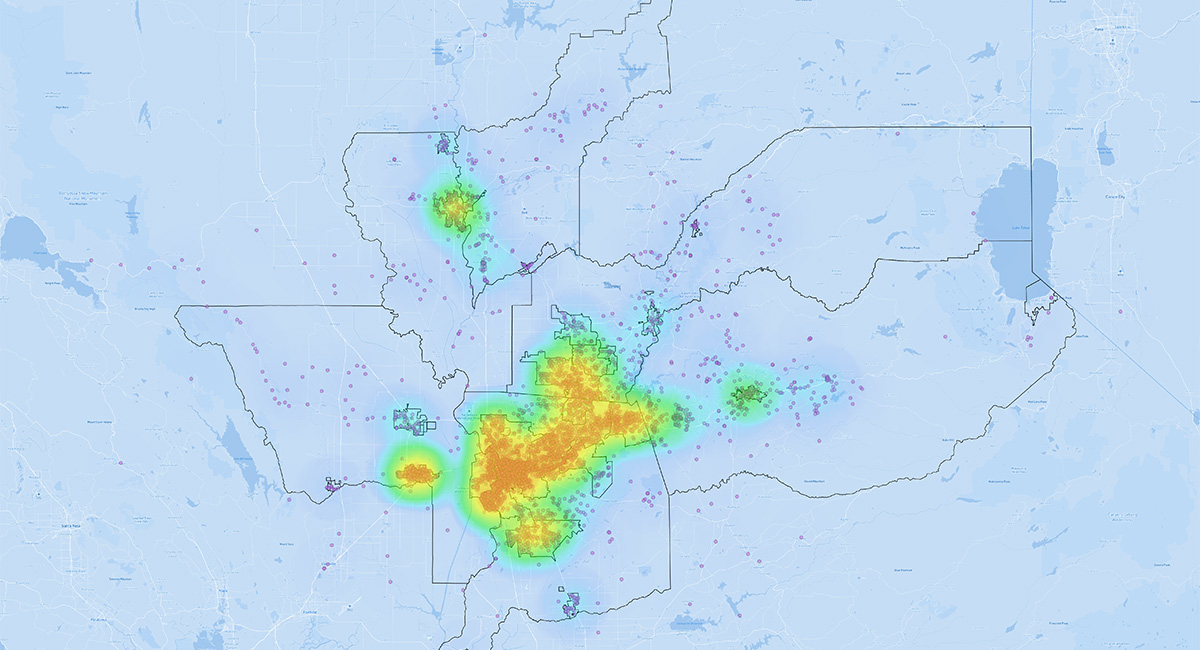
MIG’s digital engagement team had previously worked on a survey for SACOG’s overall active transportation planning at a regional level. The new survey was an interactive map on which residents across SACOG could point out the nearest trail they could access for fun or for transportation. This method of gathering information is called Participatory Geographic Information System (PGIS).
MIG built a clean, easy-to-understand base map and added it into a mapping survey platform, creating a tool that is easy to use, multi-lingual, and mobile-friendly. Over 6,500 residents responded to questions that matched where they live with the nearest and best off-street trails. The large number of responses allowed detailed analysis of individual cities and counties within the region, as well as demographic disaggregation to explore equity topics.
A critical finding is that while the average respondent was over a mile from the nearest trail, people of color, low-income populations, and youth had to travel even further and more out of their way to get to any off-street trails. This information will inform SACOG’s future decision-making to plan trail and open space in a more equitable way.
