Whittier General Plan Update and Zoning Code Amendments
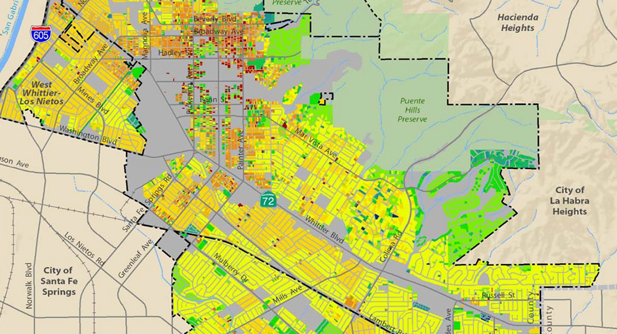
A new General Plan and the Environmental Impact Report established new policies for the City to address sustainability, climate change, environmental justice, and community health. An Existing Conditions Atlas provided a snapshot in time of the City and its sphere of influence as the basis for the plan.
An extensive high-tech/high-touch community engagement program kept residents informed and engaged through stakeholder interviews, community intercepts and interactive workshops. Online engagement included a multimedia campaign, social media, online questionnaires and a comprehensive website. The community helped create the vision, guiding principles, goals and policies, and land use alternatives.
Key land use policy changes focused on reimagining Whittier Boulevard as a transit-oriented, mixed-use corridor anchored by a station area for Metro’s “E” line extension (forecast for 2035), a medical district and mixed-use villages on properties formerly supporting commercial centers.
Following plan adoption, MIG crafted the new zones and updated parking regulations to reflect a gradual transition to a multi-modal community. The new mixed-use zones utilize a tiered approach to housing densities, with higher density projects required to provide defined community benefits.
