Trinity River Strategic Master Plan
For decades, the Trinity River has been a natural amenity, economic catalyst and, at times, a destructive force for Fort Worth. After a series of damaging floods in the early 20th century, Fort Worth began to turn its back on the Trinity River. A variety of flood control measures made the once vital waterway a channelized and neglected “muddy ditch.”
That’s now changing. The new Master Plan will guide the river back to the future as a world-class recreational amenity, revitalized natural resource, vibrant gathering place, and economic development driver for the Fort Worth region. Developing the Plan required a team encompassing urban design, land use planning, ecological/habitat restoration, trail and park planning, flood control and water quality—with The River Partners (Fort Worth, Tarrant Regional Water District and Streams & Valleys), the North Central Texas Council of Governments and various non-profits and advocacy groups.
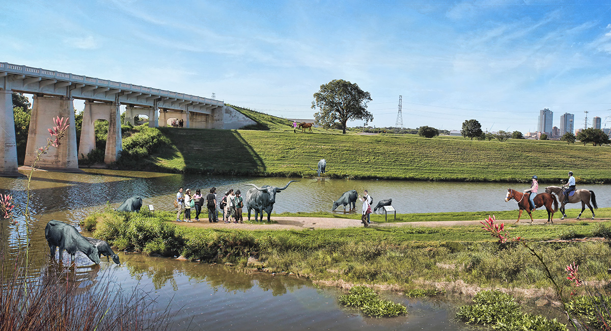
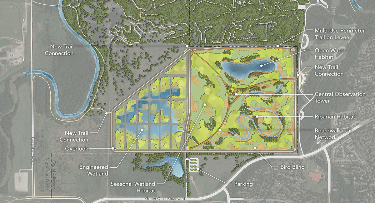
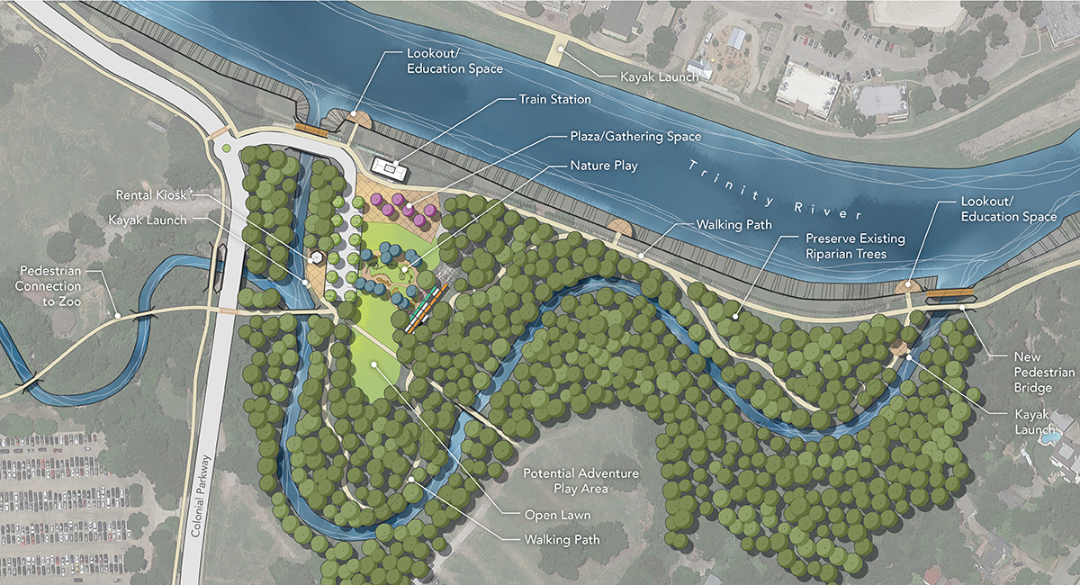
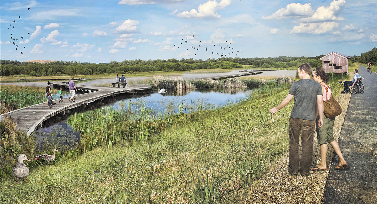
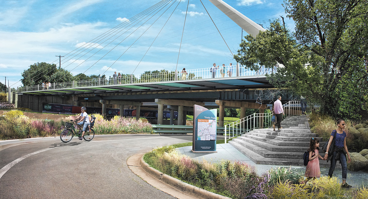
Simple and approachable plan view graphics along with highly saturated and textured perspective renderings show the range of design interventions and capture the experience of those designs along the river.
The Plan includes an implementable set of policies, programs, and projects to improve the river system’s waterway and trails, ensure adequate flood protection, restore natural habitat, address health equity, and foster community cohesion. And Fort Worth isn’t waiting for the Plan to be bound and published—it’s already working on one of the priority projects: a new kayak loop and nature education center!
View the Trinity River Revitalization video here.
